
Longmont Weather Report: September 25 to 30, 2026
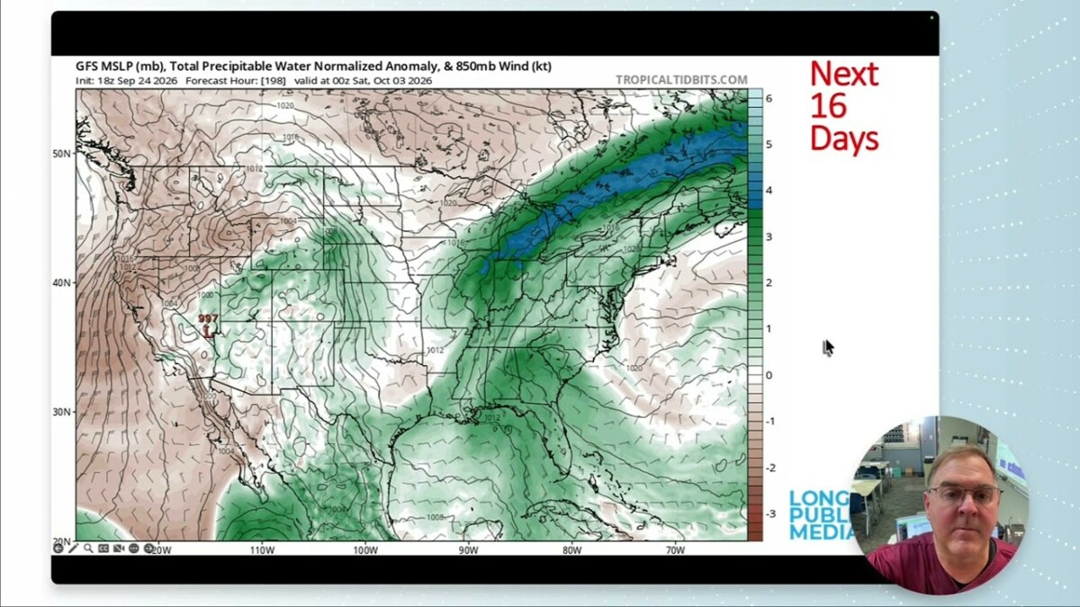
Longmont has a warm, mostly dry weekend ahead, followed by a cooler and wetter turn early next week. The best chances for rain in the local forecast arrive Tuesday and Wednesday. Beyond that, the outlook points toward drier-than-normal conditions, so the late-week rain chances are worth keeping an eye on.
Table of Contents
- The Longmont forecast at a glance
- Why the late-week rain chances matter
- Looking beyond the daily forecast
- A full moon for the weekend
The Longmont forecast at a glance
The daily forecast shows temperatures climbing into the mid-80s over the weekend before falling into the 60s by Tuesday and Wednesday. Thursday and Friday carry modest rain chances, while Saturday through Monday look dry.
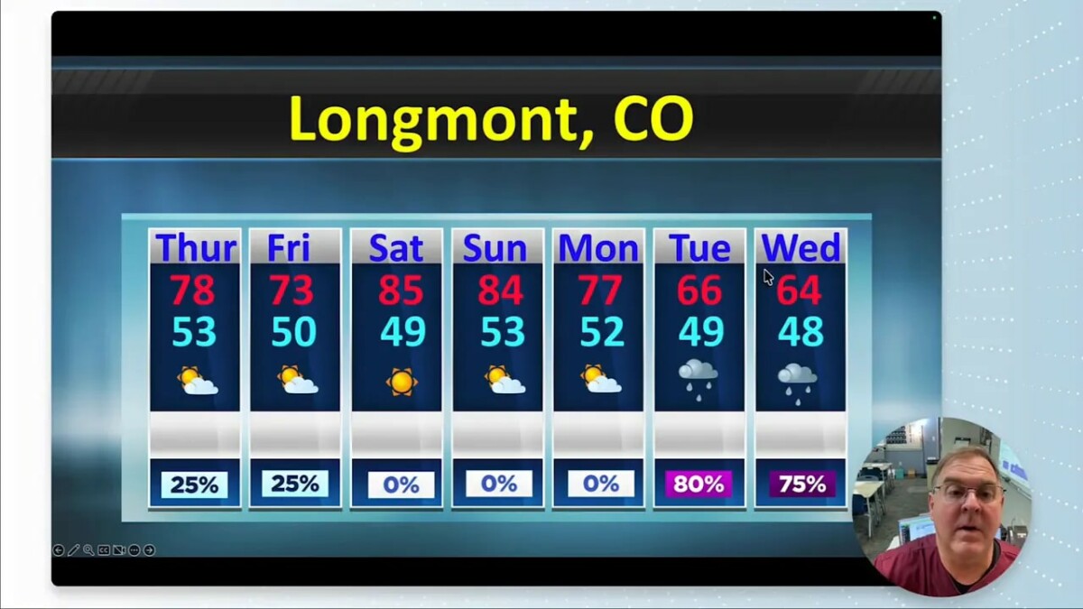
| Day | High | Low | Rain chance |
|---|---|---|---|
| Thursday | 78°F | 53°F | 25% |
| Friday | 73°F | 50°F | 25% |
| Saturday | 85°F | 49°F | 0% |
| Sunday | 84°F | 53°F | 0% |
| Monday | 77°F | 52°F | 0% |
| Tuesday | 66°F | 49°F | 80% |
| Wednesday | 64°F | 48°F | 75% |
The weekend is the standout stretch for warm, dry weather. By Tuesday, the forecast high is nearly 20 degrees lower than Saturday’s, and rain becomes much more likely. Those percentages describe the chance of precipitation, not how much rain will fall.
Why the late-week rain chances matter
Colorado’s drought maps show a sharp contrast across the state. The most intense drought shading is concentrated in western Colorado, while conditions vary elsewhere. The national drought outlook offers a broader picture, but it does not tell us how much rain any one Longmont storm will deliver.
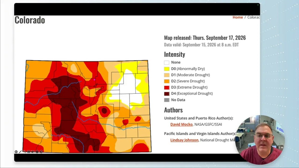
Recent precipitation has also been uneven. That is why it helps to separate a promising rain chance from a drought-changing rain event. Tuesday and Wednesday have the strongest local chances in this forecast, but the eventual benefit depends on where rain falls and how much reaches the ground.
Looking beyond the daily forecast
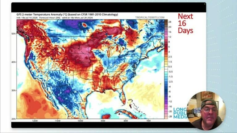
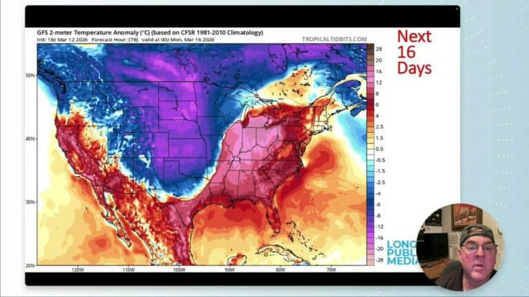
The longer-range maps show weather systems and precipitation areas shifting across the country over the next couple of weeks. They are useful for seeing possible patterns, not for treating a particular storm track or rainfall total as settled this far in advance.
The outlook for the second week favors warmer-than-normal temperatures in the region. Its precipitation map leans drier than normal around Colorado. That is a change from an outlook with roughly equal chances, or somewhat better chances, for precipitation.
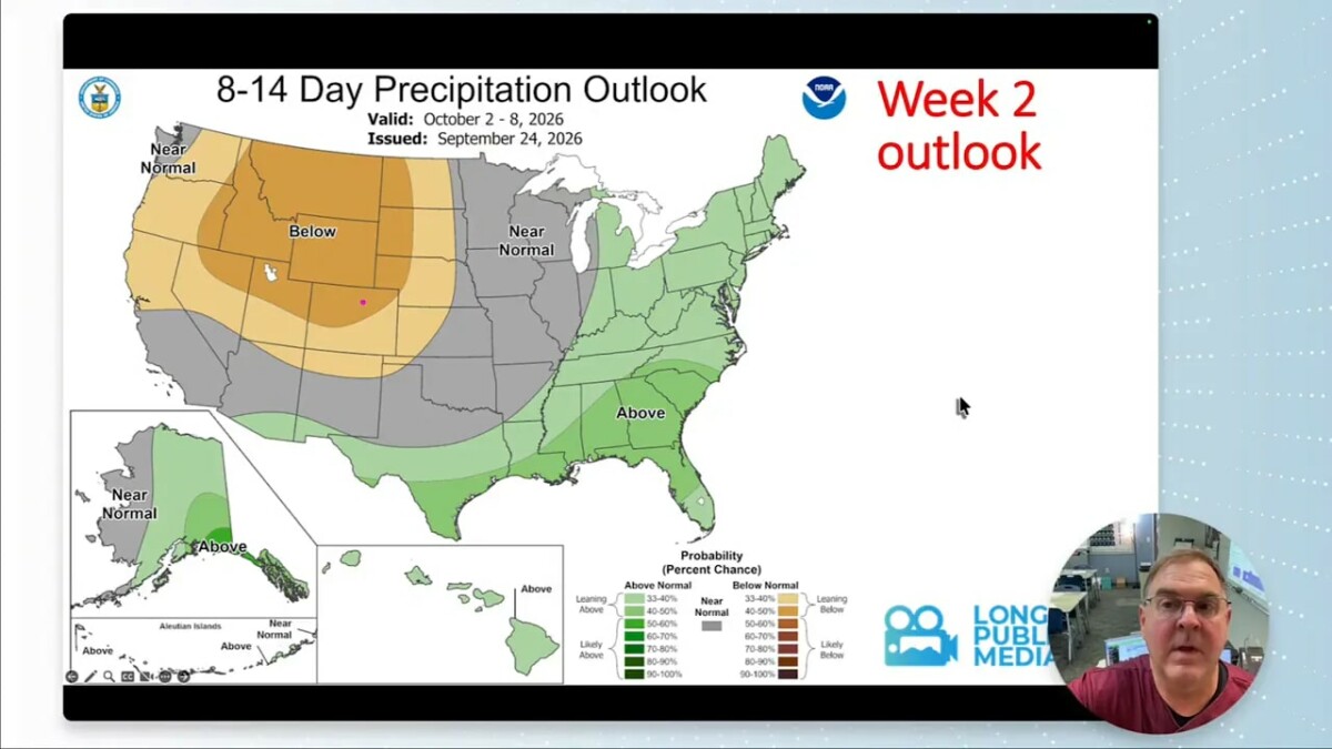
Put simply, take the Tuesday and Wednesday rain chances seriously without assuming they begin a long wet spell. The forecast becomes less specific the farther out it goes, and a dry-leaning outlook does not rule out an individual rainy day.
A full moon for the weekend
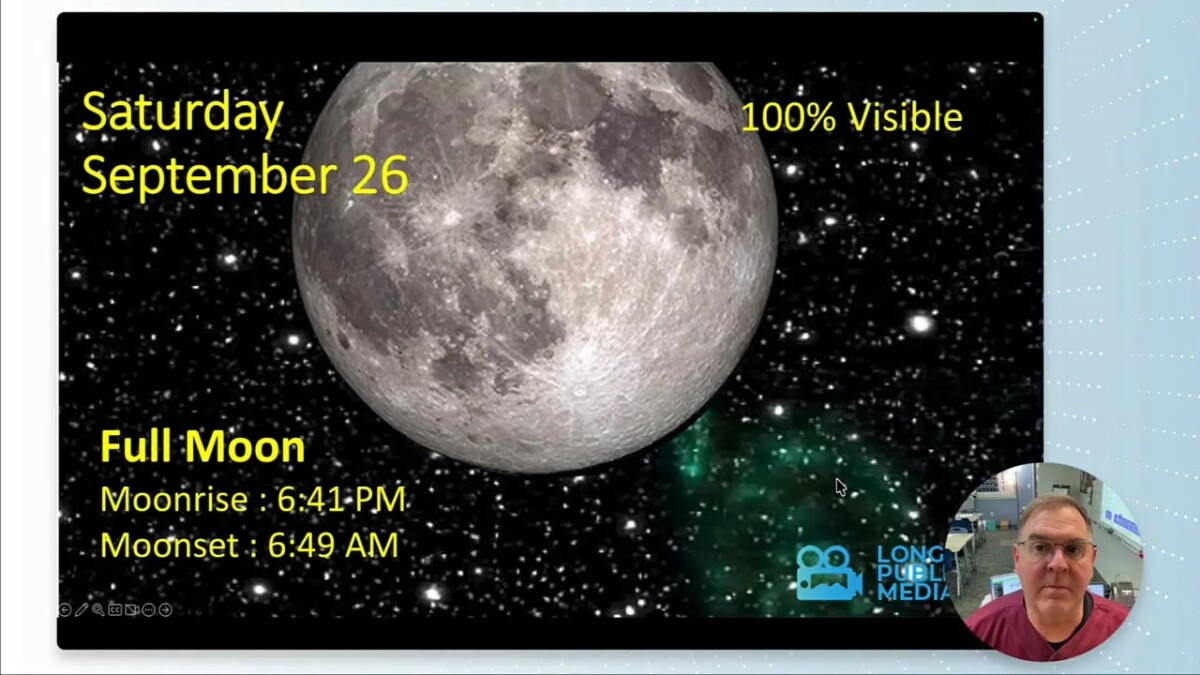
Saturday, September 26, also brings a full moon. The moon information lists moonrise at 6:41 p.m. and moonset at 6:49 a.m. Saturday’s sunset is listed at 6:50 p.m., putting moonrise close to sunset.
For Longmont, the practical plan is straightforward: enjoy the warm, dry weekend, then be ready for a cooler and potentially rainy Tuesday and Wednesday. After that, keep an eye on updated forecasts as the longer-range pattern comes into focus.